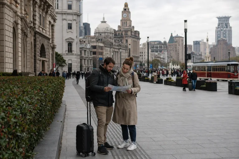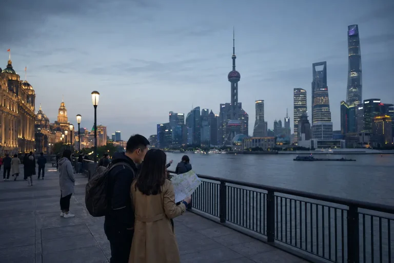
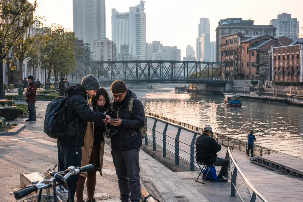
Shanghai neighborhoods make more sense as clusters than as a checklist of administrative districts. Huangpu contains the Bund, People’s Square, the Old City and several former concession streets, yet those places produce entirely different walks. Xuhui stretches far beyond the leafy lanes visitors usually mean by the former French Concession. Pudong is not just Lujiazui’s skyline.
This guide is about where to explore, not where to book a hotel. For that decision, use the separate where to stay in Shanghai guide.
First understand Puxi, Pudong and the districts
The Huangpu River divides central Shanghai into Puxi on the west and Pudong on the east. Most historic visitor areas are in Puxi; Lujiazui and a vast range of residential, business and waterfront areas sit in Pudong.
Shanghai has 16 district-level divisions, but district names are only a rough planning tool. A traveler saying “Jing’an” may mean the temple and West Nanjing Road, a former concession bar street farther south or a much larger modern district. Save exact roads and metro stations rather than relying on one neighborhood pin.
| Area | Best for | Good pairing | Skip if |
|---|---|---|---|
| The Bund and central Huangpu | First-time skyline, architecture and museums | People’s Square or Rockbund | You want quiet local streets |
| Old City | Classical gardens, lanes and urban change | Bund or Laoximen | Crowds and redevelopment frustrate you |
| Former French Concession / Xuhui | Tree-lined walking, cafés and lane houses | Huaihai Road or Xujiahui | You only have two hours |
| Jing’an | Temple, retail and mixed old-new streets | Suzhou Creek | You expect one coherent historic quarter |
| North Bund / Hongkou | River views and layered modern history | Suzhou Creek | Only the classic postcard will do |
| Yangpu riverside | Industrial heritage and public waterfront | A dedicated half-day | This is your first and only Shanghai day |
| Lujiazui / Pudong | Towers, city scale and family attractions | Bund by ferry or metro | You dislike enclosed observation experiences |
The Bund and Huangpu: Shanghai’s opening argument
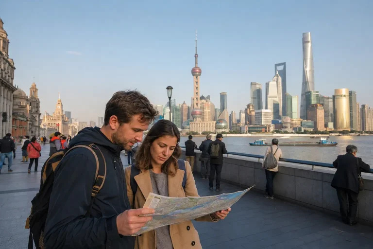
Walk the Bund for the west-bank facades and the view across to Lujiazui. It is famous because the contrast is genuinely legible, not because every famous sight is automatically worthwhile. Morning brings exercise groups and softer crowds; evening brings lights and congestion.
Move inland toward Rockbund, People’s Square or the Old City rather than walking the promenade back and forth. Huangpu district can consume a full day, but it should not be treated as one neighborhood.
A workable half-day
Start around People’s Square for a museum or civic-scale architecture, continue east along selected streets, then reach the Bund in late afternoon. Alternatively, begin at the Bund and walk north through Rockbund toward Suzhou Creek. The Shanghai itinerary places these routes within a larger trip.
The Old City: heritage, commerce and redevelopment
The area around Yu Garden offers classical architecture, food retail and some of Shanghai’s densest visitor crowds. The garden itself and the commercial complex outside it are different experiences. Go early, reserve where required and expect tour groups.
Walk beyond the most decorated lanes toward Laoximen only with a current map and realistic expectations. Demolition, reconstruction and restored heritage projects have changed the street fabric. Do not arrive seeking an untouched “old Shanghai”; this is a living central district under sustained redevelopment.
Former French Concession and Xuhui: the long walk
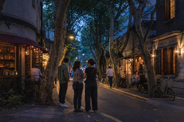
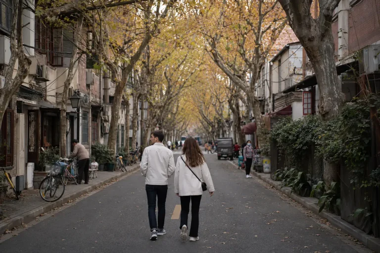
The former French Concession is a historical area spread across parts of modern Huangpu and Xuhui, not an official district with a single entrance. Visitors usually come for plane trees, lane houses, small shops, cafés and cultural buildings.
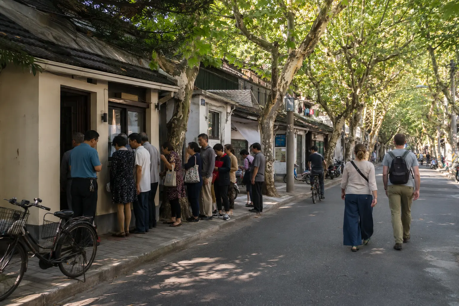
Choose a spine instead of wandering at random. Wukang Road and nearby streets suit architecture; Hengshan and Fenyang roads connect cultural sites and quieter blocks; Huaihai Middle Road adds retail; Longhua and the West Bund bring a different, more open Xuhui.
Look without treating homes as sets
Shikumen and lilong lanes remain residential. Stay on public paths, keep voices down and do not photograph through doors or block laundry, bicycles and deliveries for portraits. A lane is not “hidden” merely because people live there.
Tianzifang is compact, commercial and often crowded. It can be amusing for a short browse, but it is not a substitute for walking ordinary surrounding streets. The shopping in Shanghai guide separates useful retail areas from sightseeing markets.
Jing’an: temple, towers and side streets
Around Jing’an Temple, the district combines a major religious site, luxury malls, offices and convenient metro connections. Walk east or south and the texture shifts to former concession buildings, food streets, small bars and residential lanes.
North of West Nanjing Road, museums and Suzhou Creek provide a less polished counterweight. The point of Jing’an is the transition, not visual consistency. It works well when different travelers in one group want architecture, shopping and food without crossing the city.
For evening choices, the Shanghai nightlife guide explains why the event or bar format matters more than the district label.
Suzhou Creek: bridges, warehouses and urban repair
Suzhou Creek is a linear route, not one neighborhood. Central sections connect restored warehouses, apartment blocks, public paths and bridges with views toward the river confluence.
Choose a short section around your preferred museum, architecture stop or bridge. Construction and access can interrupt an imagined continuous walk, and the two banks do not always offer equally convenient paths. Morning and late afternoon are most comfortable in warm months.
The creek pairs naturally with Jing’an or the North Bund. It does not pair naturally with every other waterfront just because all contain water.
Hongkou and the North Bund: a second river perspective
North of Suzhou Creek, Hongkou layers port history, literary history, dense residential streets and a redeveloped waterfront. The North Bund provides broad views toward both Lujiazui and the classic Bund, usually with more breathing room than the main promenade.
This area rewards a specific route. Combine a current museum or heritage stop with the waterfront; do not expect every historic address to have interpretation in English or visitor access.
Yangpu riverside: Shanghai’s industrial edge
The Yangpu riverfront turns former industrial land into a long public landscape, retaining cranes, warehouses and other working-city traces among parks and cultural uses.
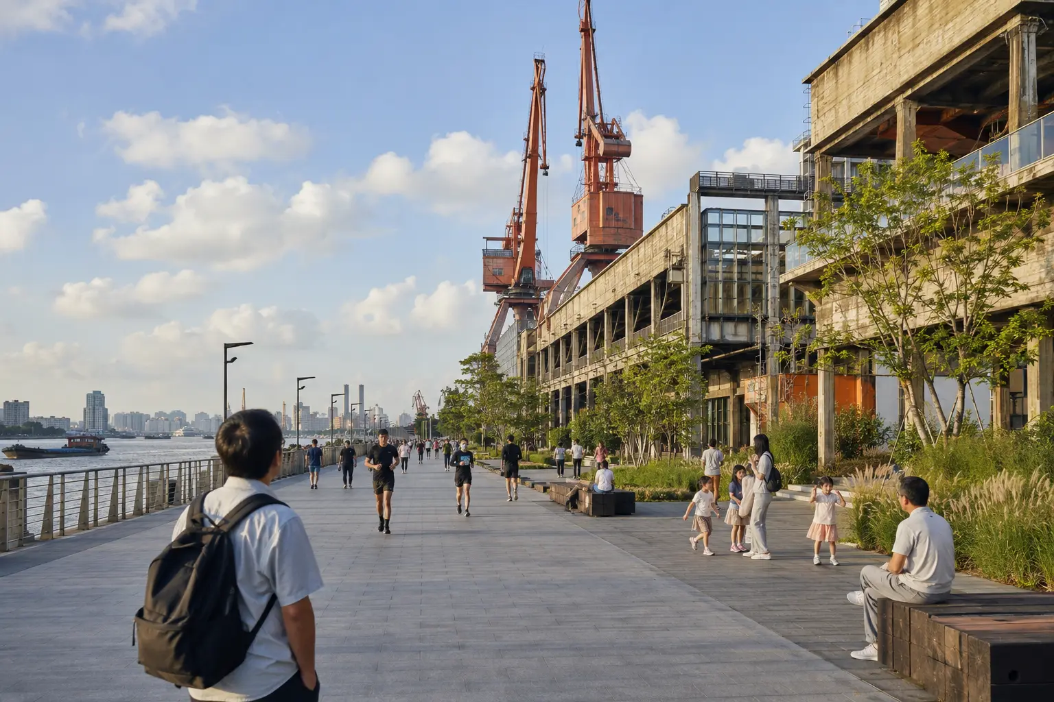
It is best for repeat visitors, architecture-minded travelers, runners and anyone who wants to see how Shanghai reuses infrastructure. Distances are large, shade varies and attractions are spread out. Pick one access point and a defined segment rather than announcing that you will “walk Yangpu.”
Why it deserves its own half-day
Travel time from classic central sights plus the length of the riverfront makes Yangpu awkward as a quick add-on. Give it space, take a break and return by metro or car from a planned endpoint.
Lujiazui and Pudong: go east for scale
Lujiazui compresses observation decks, malls, offices and major family attractions into Shanghai’s most recognizable skyline. At ground level, roads are broad and pedestrian routes can involve elevated walkways, mall interiors and indirect crossings.
Choose one high viewpoint rather than paying for several similar versions. Then add a riverfront walk or ferry crossing for street-level perspective. Pudong extends far beyond these towers; museums, parks and residential districts elsewhere require separate travel logic.
How to combine neighborhoods without wasting a day
Group adjacent areas:
- Bund, Rockbund and North Bund
- People’s Square, East Nanjing Road and the Bund
- Old City, Laoximen and central Huangpu
- Wukang Road, Huaihai Road and selected Xuhui streets
- Jing’an Temple, side streets and Suzhou Creek
- Lujiazui and a Bund ferry crossing
Two clusters make a full day once meals, museums and wrong metro exits are included. Three can work only when one is a short evening stop.
Pick the neighborhood by energy
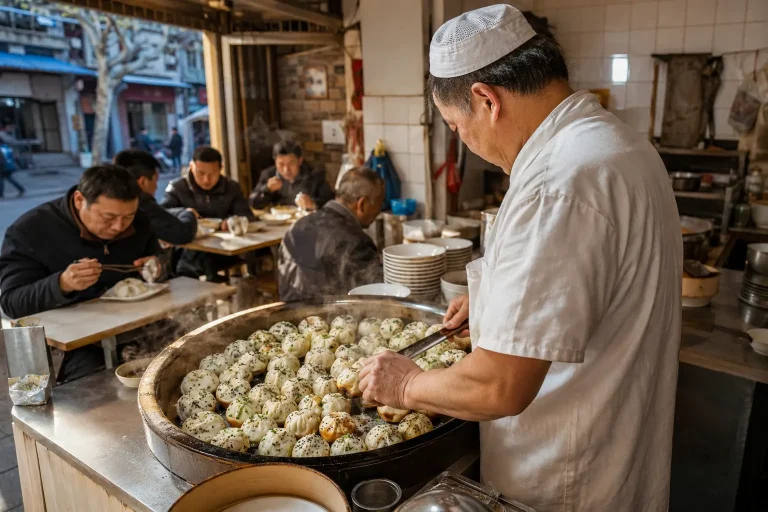
First-time visitors should see the Bund–Huangpu contrast and spend unhurried time in Xuhui or Jing’an. Repeat visitors can shift toward Suzhou Creek, Hongkou, Yangpu or farther Pudong. Food-focused travelers should choose a district walk with a meal plan from the Shanghai food guide.
Shanghai’s scale becomes manageable when each neighborhood has a job. Choose one for history, one for ordinary street life and one for the city’s newer waterfront. Leave the administrative completionism to people with spreadsheets and considerably more annual leave.
Frequently Asked Questions
What are the main areas of Shanghai?
The Huangpu River divides central Shanghai into Puxi on the west and Pudong on the east. Most historic visitor areas sit in Puxi, while Lujiazui and a wide range of residential and business areas are in Pudong.
Is Huangpu district the same as the Bund in Shanghai?
No. Huangpu district contains the Bund, People’s Square, the Old City, and several former concession streets, but these produce entirely different walks despite sharing one administrative district.