

Google Maps can work as a simple trip planner: create one list for the trip, save fixed bookings first, add researched places with notes, group them geographically and build one Directions route for each day. Use Google My Maps only when you need custom layers, imported data or a multi-city overview.
Google Maps is excellent at collecting places and rather less interested in explaining what to do with 84 saved pins once they are there. A screen full of cafés, museums and “maybe” restaurants is research. It becomes an itinerary only after you decide what is fixed, what is nearby and what deserves actual time.
The system below works for a city break, a first solo trip or a modest road trip. It keeps live navigation in ordinary Google Maps and treats My Maps as the more elaborate planning board—not as a replacement for the app you will actually use while standing outside the wrong station exit.
First, choose the right Google Maps tool
Google uses similar names for three tools that perform different jobs. Choosing the right one before you start prevents a custom map from becoming beautifully organized but awkward to use on the ground.
| What you need to do | Use | Why |
|---|---|---|
| Collect hotels, sights and restaurants | Google Maps List | Fast to create, easy to share and connected to current place information. |
| Plan one day with several stops | Directions | Shows travel time and lets you reorder destinations manually. |
| Build day-by-day or city-by-city layers | Google My Maps | Adds custom colors, icons, layers, lines and spreadsheet imports. |
| Navigate with traffic and live transit | Google Maps | Ordinary Maps remains the practical tool once the trip begins. |
For most city trips, start with one Google Maps list. Add My Maps only if the itinerary genuinely benefits from layers. More structure is not automatically more useful; sometimes it is simply a new place to misplace Tuesday.
How to plan a trip on Google Maps in 8 steps
Create one list for the trip
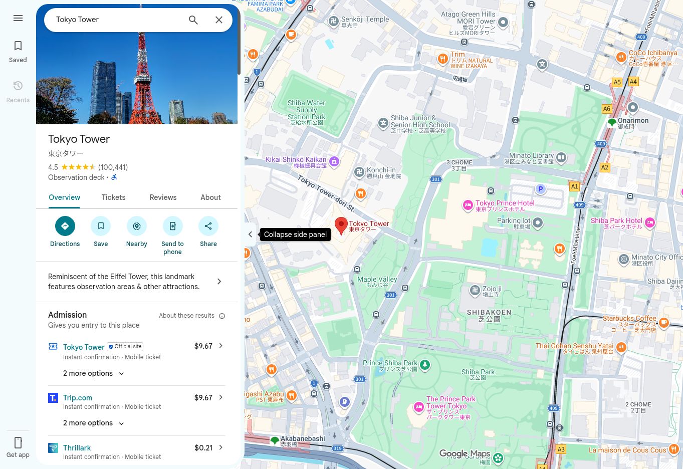
Sign in to the Google account you will use while traveling, then create a single list named for the destination and dates—for example, Tokyo · October 2026. Add the accommodation area and travel dates to the description. One list keeps every useful pin visible together; five category lists are tidier until you need to remember which ones are currently hidden.
Add the places that control your schedule
Save the hotel, arrival airport or station, departure point, car-rental office and every pre-booked attraction before adding inspiration. These locations reveal the useful part of the map and expose inconvenient bookings early. A restaurant may be excellent and still be a poor choice if it requires crossing the city after a timed museum entry.
If accommodation is not settled, resolve that decision first rather than building routes around a moving center. The practical tradeoffs in choosing a hostel or hotel matter more here than the prettiest pin color.
Save places with a reason
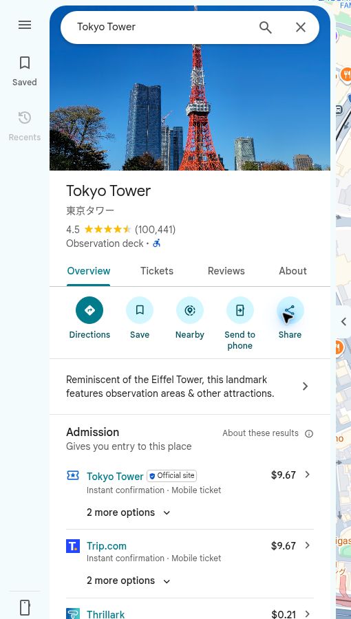
Open a place, choose Save, select the trip list and add a short note. Record why it belongs on the map, whether it is a priority, when it works best and whether it needs a reservation. “Lunch near the museum; closed Monday” will be useful in three weeks. “Looks nice” will be competing with twelve other places that also looked nice.
Stop collecting and start editing
Save more places than you expect to visit, but set a limit. For a three-day city break, 20 to 30 considered pins are usually more useful than 100 unfiltered recommendations. Keep several meal options near each planned area, one or two indoor backups and the experiences that genuinely justify the trip.
Then remove duplicates, check the correct branch or entrance and confirm important hours on the venue’s official website. Put fixed ticket times in a calendar as well as the map. A pin remembers where the museum is; it does not prevent you from assigning it to the day it closes.
Group the pins by neighborhood
Zoom out until the saved places form visible clusters. Those clusters—not a ranking copied from a search result—should become the basis of the itinerary. Give each day one main area, one priority experience, one or two optional stops, several nearby food choices and a sensible place to finish.
Check actual walking or transit directions between pins. Two places can look close on a flat map while a river, railway, steep hill or limited crossing quietly adds half an hour. The same geographic logic shapes our five-day Tokyo itinerary and three-day Paris itinerary: fewer cross-city transfers leave more of the day available for the city itself.

Build one realistic route for each day
Open Directions, enter the accommodation or first stop, then use Add destination for the rest of that day. Google Maps currently allows up to nine destinations, including the final destination, in addition to the starting point. Reorder them manually and compare driving, walking or cycling times. Multi-stop planning is not available in the same way for public transit or flights.
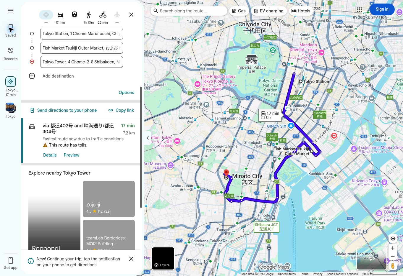
Google Maps calculates each leg but does not build a sightseeing day around ticket times, lunch or the amount of time you want to spend inside a museum. For transit-heavy itineraries, check the important legs individually and set the relevant departure or arrival time.
Share the list without creating a pin democracy
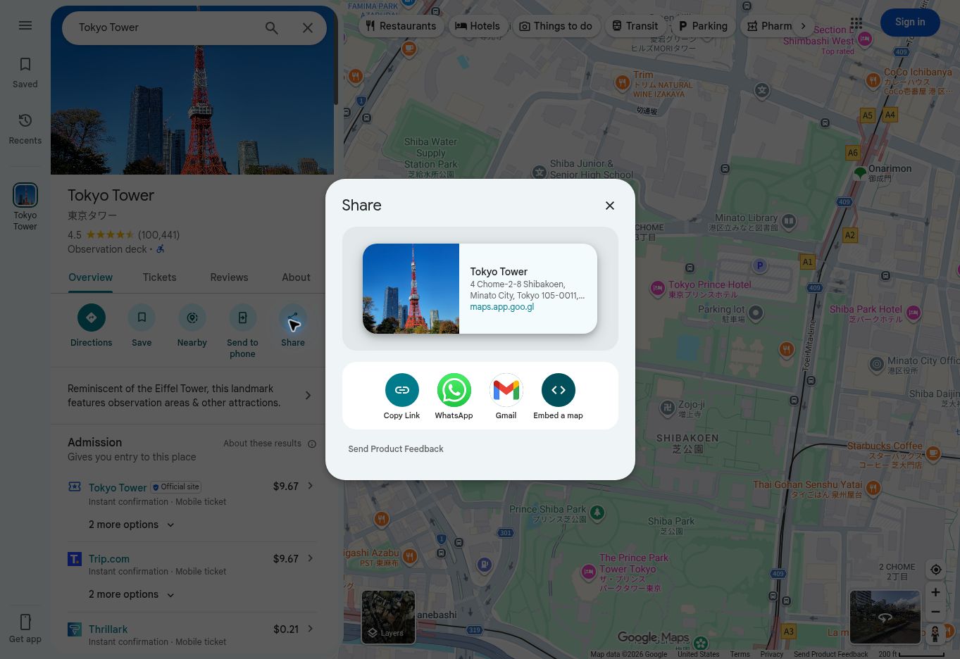
Use Share list when travel partners only need to view the map. Use Invite collaborators when they should be able to add and edit places. Ask each person to contribute a few priorities and a short reason for every suggestion; otherwise the shared list becomes extremely inclusive and the actual hotel remains unbooked.
Download the map and preview difficult arrivals
In the mobile app, open the account menu, choose Offline maps, then Select your own map. Adjust the rectangle so it covers the accommodation, arrival point and planned neighborhoods. Update the download shortly before departure.
Use Street View to recognize a small hotel entrance, the correct station exit, a pickup point or a road junction before the trip. Images may be old, so use them for orientation rather than proof that a storefront or road layout is unchanged. Keep tickets, confirmation numbers and written arrival instructions available separately; the international travel checklist covers the rest of that pre-departure housekeeping.
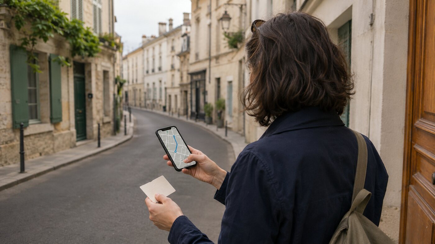
How to plan a multi-day trip with Google My Maps
Google My Maps is useful when an ordinary list cannot show the structure you need. It creates custom maps with layers, colors, icons, lines and imported spreadsheet data. Build and edit the map in a web browser—preferably on a computer—then view it through Google Maps on your phone.
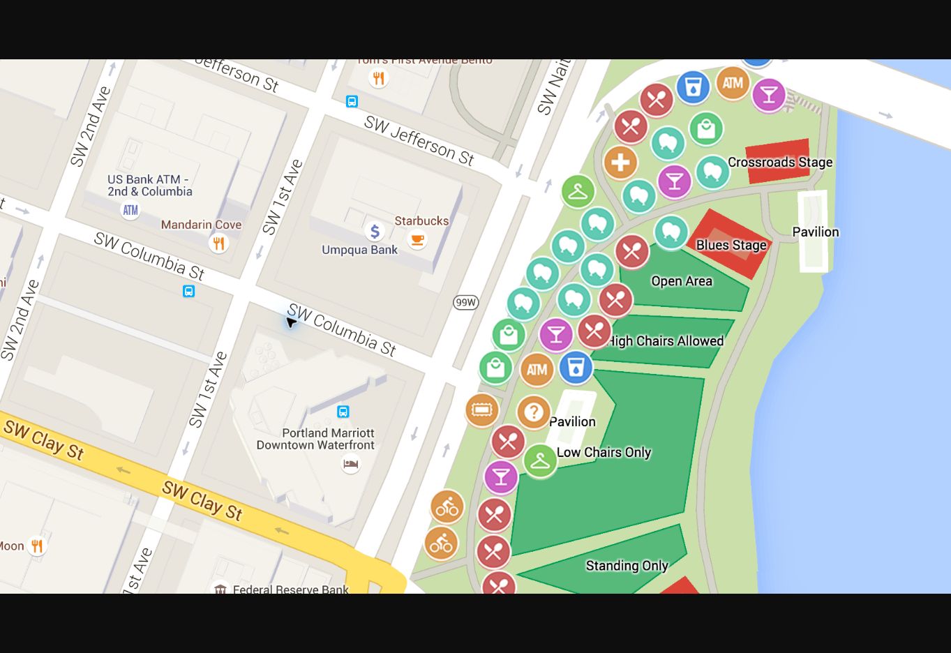
1. Create the map in a browser
Open Google My Maps, choose Create a new map, then replace “Untitled map” with the destination and dates. The map is stored with the Google account you are using, so check the profile before an elaborate plan ends up in a work account you cannot access abroad.
2. Choose one layer system
My Maps supports up to ten layers. Use layers by day for a short city trip, by city for a longer route, or by category for research that needs to remain flexible. Mixing all three systems usually creates more sorting than clarity.
3. Add places and make priorities visible
Search for a place, choose Add to map, then assign it to the correct layer. Use a restrained color system: one color for fixed bookings, another for priorities and a third for flexible options. Add notes only when they will change a decision.
4. Add directions where the overview matters
A directions layer can show a driving, cycling or walking route. Use it to understand the shape of a road trip or the relationship between cities, then return to ordinary Google Maps for current traffic and turn-by-turn navigation.
5. Share the map and open it on the phone
Share the map with viewers or collaborators. In the Google Maps app, open You → Maps to view a saved My Map. Creating and editing still works through the My Maps website rather than directly inside the standard mobile app.
The useful limitation
My Maps is a planning and presentation tool. It does not replace ordinary Google Maps for live business information, current transit, traffic-aware routing or straightforward navigation. The custom map shows the plan; the Maps app gets you through the day.
Common mistakes that make the map less useful
- Saving without editing: a long list of unreviewed pins creates the feeling of preparation without the decisions.
- Trusting headline travel time: station entrances, transfers, queues and finding the correct door all take time.
- Putting every day into one route: create separate routes so weather and energy can change without dismantling the whole trip.
- Treating an offline map as an offline itinerary: tickets, addresses and check-in instructions still need their own backup.
- Building a My Map when a list would do: custom layers are useful only when the structure answers a real question.
Frequently asked questions
Can Google Maps create a travel itinerary?
Google Maps can support an itinerary by storing places in a list, showing their geographic relationship and building a route for each day. It does not automatically schedule attraction time, meals, opening hours or reservations, so the final daily plan should still live in a calendar, note or itinerary document.
How many stops can you add to a Google Maps route?
Google’s current desktop guidance allows up to nine destinations, including the final destination, in addition to the starting point. For a longer trip, divide the journey into separate daily or regional routes.
Can Google Maps automatically optimize multiple stops?
Not as a complete travel-itinerary optimizer. You can drag stops into a different order and compare travel times, but Google Maps does not arrange the day around reservations, attraction hours or planned visit length.
Should I use Google Maps Lists or Google My Maps?
Use a Google Maps list for most city trips, live place information, collaboration and on-the-go navigation. Use My Maps when you need custom layers, colors, icons, lines or spreadsheet imports.
Can I create or edit Google My Maps on my phone?
You can view a My Map inside the Google Maps app under You → Maps. To create or edit a custom map, open the My Maps website in a browser; a computer provides the clearest workspace.
Can I use my Google Maps trip plan offline?
You can download an area in the mobile app and use covered driving routes without a connection. Offline mode does not provide walking, cycling or transit directions, live traffic or alternate routes, so save critical arrival details separately.
A useful travel map is not the one with the most pins or the most elaborate legend. It is the one you can open at 10 a.m. and immediately see what is fixed, what is nearby and what can wait. Research widely, edit firmly and let geography do some of the planning.